Introduction
Mt. Tsukuba is an isolated mountain with two peaks located in the eastern
Kanto plain, about 70 km northeast of Tokyo. History of meteorological
observation datas backs to the 1900's, when the Central Meteorological
Observatory was constructed within the former Ministry of the Interior.
The Japan Meteorological Agency continued modern automatic meteorological
observations by AMeDAS till 2001. To continue the long history of observation,
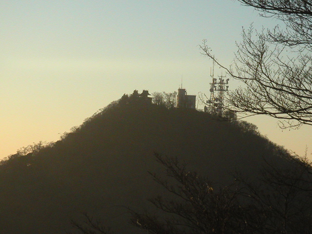
the University of Tsukuba established an automatic weather station (AWS)
in Dec. 2005 at one of the peaks (Nantai-san, 871 m a.s.l.) under a research
project entitled "Multi Monitoring of Meteorological and Hydrological
Elements qt Mt. Tsukuba and Analysis for Atmosphere and Water Cycles"
(Hayashi, 2006). The AWS not only measures the basic meteorological elements,
such as temperture, humidity, wind, radiation, pressure, precipitation,
but also monitors the CO2 concentration, weather parameters, pH in the
precipitation, and captures the environmental scene around theAWS by digital
camera. The platform is introduced by the web site (http://mtsukuba.suiri.tsukuba.ac.jp/)
where real-time data are also shown. Among the measurements, basic surface
meteorological data are made available to the international community via
CEOP2 project.
Observation items
Location :
Latitude: 36.552 N
Longitude: 140.098 E
Elevation: 868 m a.s.l.
Link to Mt. Tsukuba!!
PI :
Kenichi Ueno
(University of Tsukuba)